Mapscape
2017
![]()
Mapskape is a play on maps, taken a part, reprinted upon and bound together. Taken out of context, incoherent and out of date, the maps loose utility. Instead it becomes a tool for taking a closer look, to imagine the two dimentional in tree dimentions, the use of colors, and to reflect simply how we read maps with their symbols and scale.
2017

Mapskape is a play on maps, taken a part, reprinted upon and bound together. Taken out of context, incoherent and out of date, the maps loose utility. Instead it becomes a tool for taking a closer look, to imagine the two dimentional in tree dimentions, the use of colors, and to reflect simply how we read maps with their symbols and scale.
Same as with photographs, maps are only partially a document, it shows something that has been; Mesured, edited and stretched out.


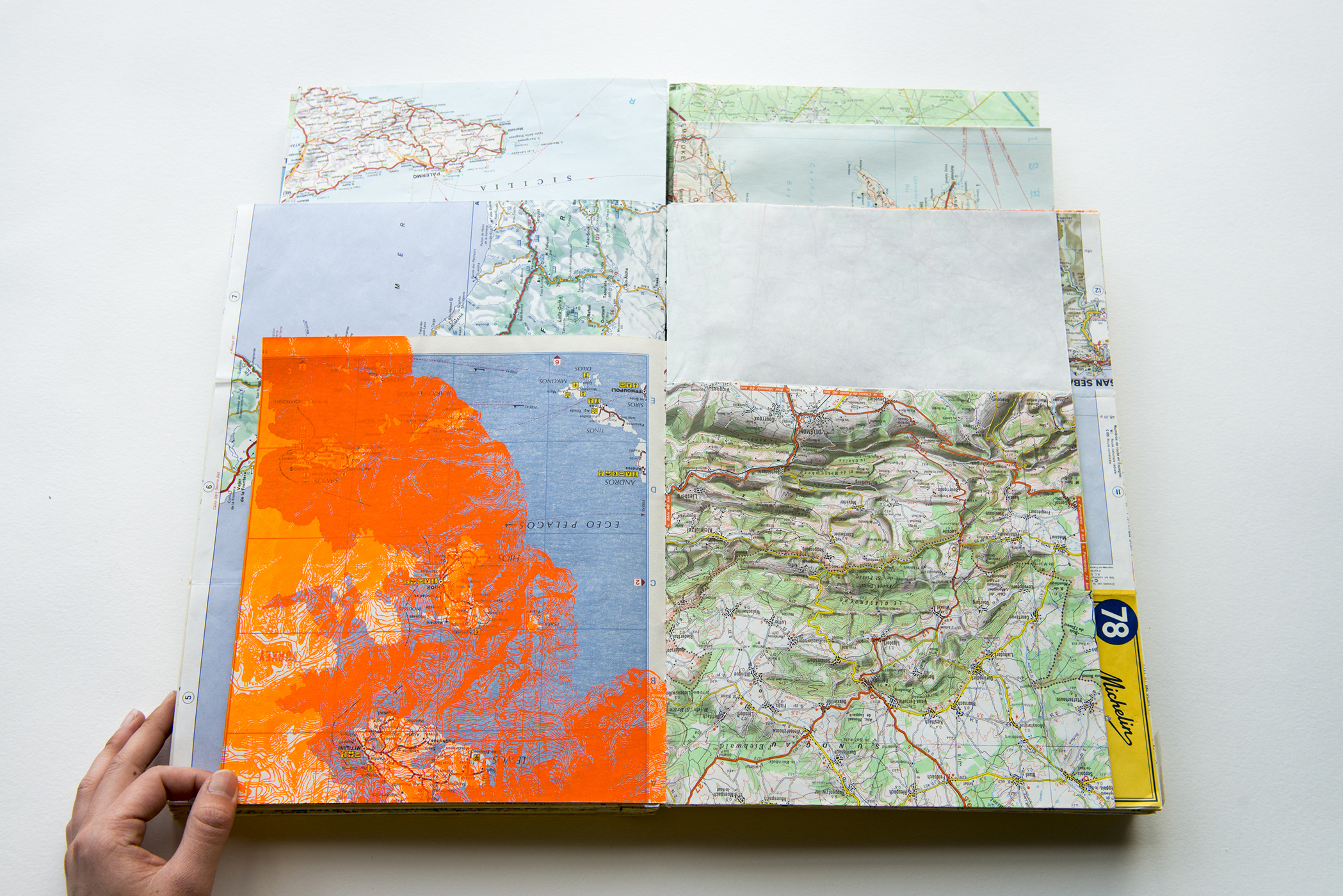


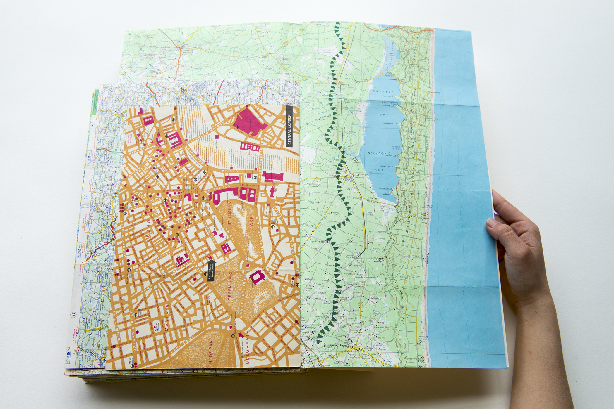
320 pages, silk print on archived maps
Printed in Paris, 2017
Printed in Paris, 2017